What’s Wrong with
the Proposal?
Smiths Beach is under threat. A proposed large-scale development is set to bypass established planning laws, significantly expanding beyond approved limits, clearing vital vegetation, and risking the integrity of this iconic coastal environment. This proposal not only reduces the size of the future National Park but also introduces a massive seawall that will permanently alter the western end of Smiths Beach, increasing erosion and destroying a beloved public recreation area.
NOTE: All information & figures were updated in June 2022 with EPA release of project details
Summary of Concerns
“The planning laws were created by the WAPC, City of Busselton & EPA to ensure a sustainable development at Smiths Beach, this developer is trying to bypass these laws.”
- Smiths Beach Action Group 2021
100m long by 22m wide SEAWALL to destroy the west end of Smiths Beach
Increased development area: 44% LARGER than allowable by law
Loss of National Park land: 25% SMALLER than required by law,
Increased visual and environmental impact: As noted by the EPA,
Increased clearing & loss of vegetation: 44% MORE than approved,
Non-committal to legal conditions: Mains sewer, roads & fire escape,
Non-compliance with conservation & rehabilitation requirements,
+100m Concrete & Rock Armoured Seawall
The proposal relies on the construction of a rock armoured seawall, 2900m2 in area, between 96-125m long, up to 22m wide and up to 5m high which will all but destroy the western end of Smiths Beach.The construction and impact of the seawall was not disclosed in the original application, and the majority of the proponents ERD documents have not given any consideration to its impact. It was effectively hidden from the public during the entire planning stages through the ‘fast track’ planning system in WA known and the State Development Assessment Unit.
The full impacts of the seawall are not known as no detailed design, long term modelling of the resulting beach profile or erosion studies have been undertaken. The result of the seawall will be:
The total loss of recreation function / use of the beach by the public at the western end of the beach, the highest use active beach area and the most family friendly part of Smiths Beach
To permanently change the way the coastal forces in the area operate and is predicted to increase the beach erosion in the immediate neighbouring dune area.
Serious negative visual landscape impacts of the seawall as it will be seen from the beach, from the water, from the cape to cape track, torpedo rocks and many other significant public viewing points. The significant of these visual impacts on the landscape quality and landform character have not been assessed by the EPA.
The seawall is a departure from the 2009 EPA assessment and the requirement for a seawall and these significant impacts could be simply avoided by the development being setback from the beach consistent with State Policy.
Increased Development Area
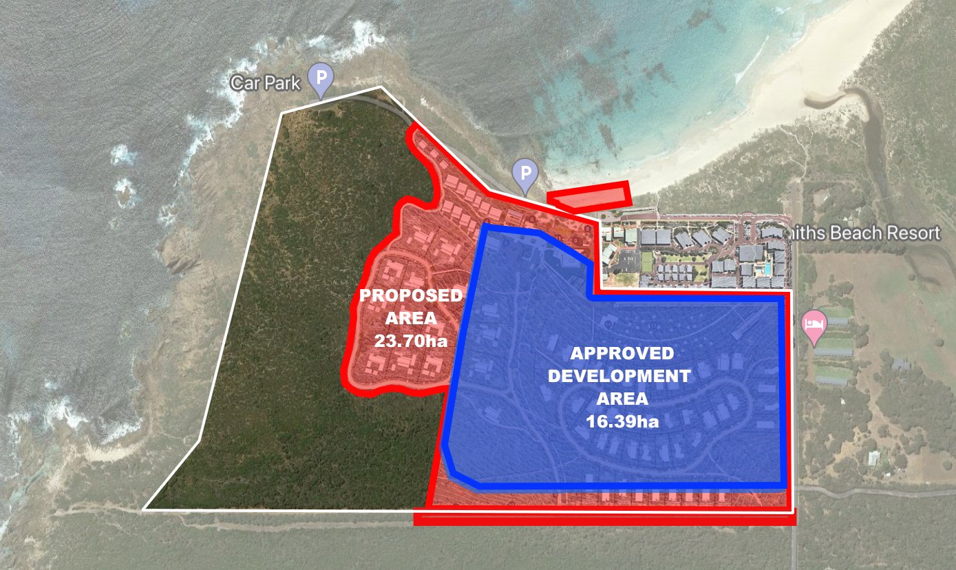
The current proposal does not meet the Approved Development Area, the proposal is 44% Larger than allowed under current approvals:
Approved building envelope area – 16.39 ha
Developer's proposed building envelope – 23.70 ha
Increase development area - 7.31 ha (44%)
This 44% expanded development area is noted by the EPA to have “regionally significant vegetation” & “good quality vegetation” that “should be ceded to national park prior to development”.
The EPA also noted that this same area is “unacceptable” for any form of development due to the “visual impact on the headland and the upper slope” of the headland.
Development Area: Area impacted by development, excl. public open space and reserves..
Reduced Future National Park
The current proposal will result in a 25% loss in size of a future National Park as required by planning law & approved by the & WAPC.
Approved National Park Area – 21.38ha
Developer's Proposed National Park Area – 15.82ha
Loss of Future National Park - 5.56ha (25%)
For reference this loss in national park and increased development area is similar in size to that of 3 football fields (the MCG + Optus + Subiaco Oval), which will be cleared of vegetation and urbanized, increasing the loss of vegetation and habitat by 5.56ha, while directly contravening current State and Local planning approvals.
In public the developer is often marketing their green credentials about this proposal however they never advertise the fact they are going to effectively clear 5.56ha of future National Park to build a luxury hotel and 15 exclusive holiday homes for the mega wealthy. They are wishing to create an exclusive enclave for the wealthy, while the law says it should be public land for the benefit of all.
Increased Environmental & Visual Impact
Development Area: Area impacted by development, excl. public open space & reserves.
The proposed development footprint of 23.70ha is an increase of 44%, and it pushes out the building envelope both west and north onto the Smiths Beach headland, which contravenes all current planning approvals and numerous State and Local planning policies established to protect the headland.
Located on this additional area, the developer is proposing to build a luxury hotel and exclusive holiday homes. From previous EPA studies it has been noted that this will:
Result in “an unacceptable visual impact” from the beach, Cape to Cape track and the entire coastline north of Smiths Beach,
Increase the clearing and environmental damage by 44%,
Result in the loss of “regionally significant vegetation”.
Increased Loss of Vegetation & Increased Clearing
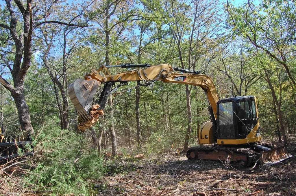
The development proposal will see a 44% increase in all types of vegetation being cleared & the dramatic loss of habitat for many types of fauna. The site is home to a variety of species of fauna including echidna’s, carpet snakes, black cockatoo’s, kangaroo’s and many more.
Some of the flora has been required by law to be protected due to its “regional significance” and “good quality” through the creation of the future National Park.
The EPA & EPBC note that hectares of habitat will be cleared thats support the:
Western Ringtail Possum (Critically Endangered)
Baudin’s Black Cockatoo (Endangered)
Carnaby’s Black Cockatoo (Endangered)
Mains Sewer not Connected
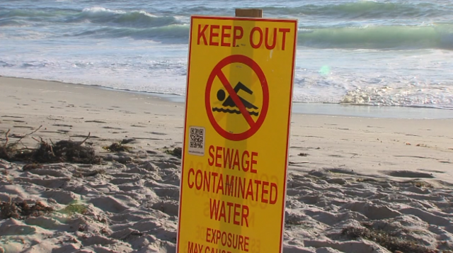
The Smiths Beach Proposal includes on site sewerage disposal despite local planning laws requiring reticulated sewerage, resulting in a huge cost saving for the developers while directly impacting the environment, beach and ocean.
The details provided to Save Smiths Beach by the developer includes an underground sewage treatment facility that will include piping treated effluent water up hill, treated in the south west corner of the site and then reticulation of the byproducts into an area fully vegetated and in excellent condition. It was noted, by the developer, that in order to install all the underground piping, plant infrastructure and kilometres of reticualtion pipe the majoiorty of the site needs to be cleared of natural vegetation.
Also the treated effluent for disposal will have higher levels of nutrients than what native plants can tolerate, leading to a decline in plant health and ultimate death. High nutrient discharge will encourage the growth of weeds and non native species, which are not currently present in this area proposed for reticulation, evident in the excellent condition given by the developers own survey.
Clearing and disturbing native vegetation by irrigation requires approval by Department of Environment and Conservation and this area has not been accounted for in the development footprint figures provided to Save Smiths Beach. However in a public meeting on the 24 June 2021, the developer confirmed 85% of the site would be cleared to meet all built form requirements, 16.15ha of clearing.
The effluent discharge has the potential to impact the critically endangered Cape Leeuwin Freshwater Snail, and an Endangered Threatened Ecological Community (TEC) formed by microbes, known as Augusta Mircobial or Tufa. Tufa is a unique type of fauna, who's populations were once wide spread along the Capes and now the area located in close proximity to the effluent discharge site represents one of the most northerly population that remains present today.
Sewerage effluent has high levels of Nitrogen (N) and Phosphorus (P), which also impacts rare fauna communities by promoting the growth of algae. Algae blooms are well known in rivers, lakes and oceans due to human alteration of the natural levels found in the environment.
The Government Sewerage Policy (2019) concedes that while on site sewerage disposal technologies have advanced considerably over time, there are still significant risks with their use, and on site sewerage is likely to not be appropriate for high density development. When on site sewerage treatment fails, infill sewerage programs become a significant cost to the State. What will happen when the Smiths Beach onsite sewerage system fails?
Fire - One Road In & Out
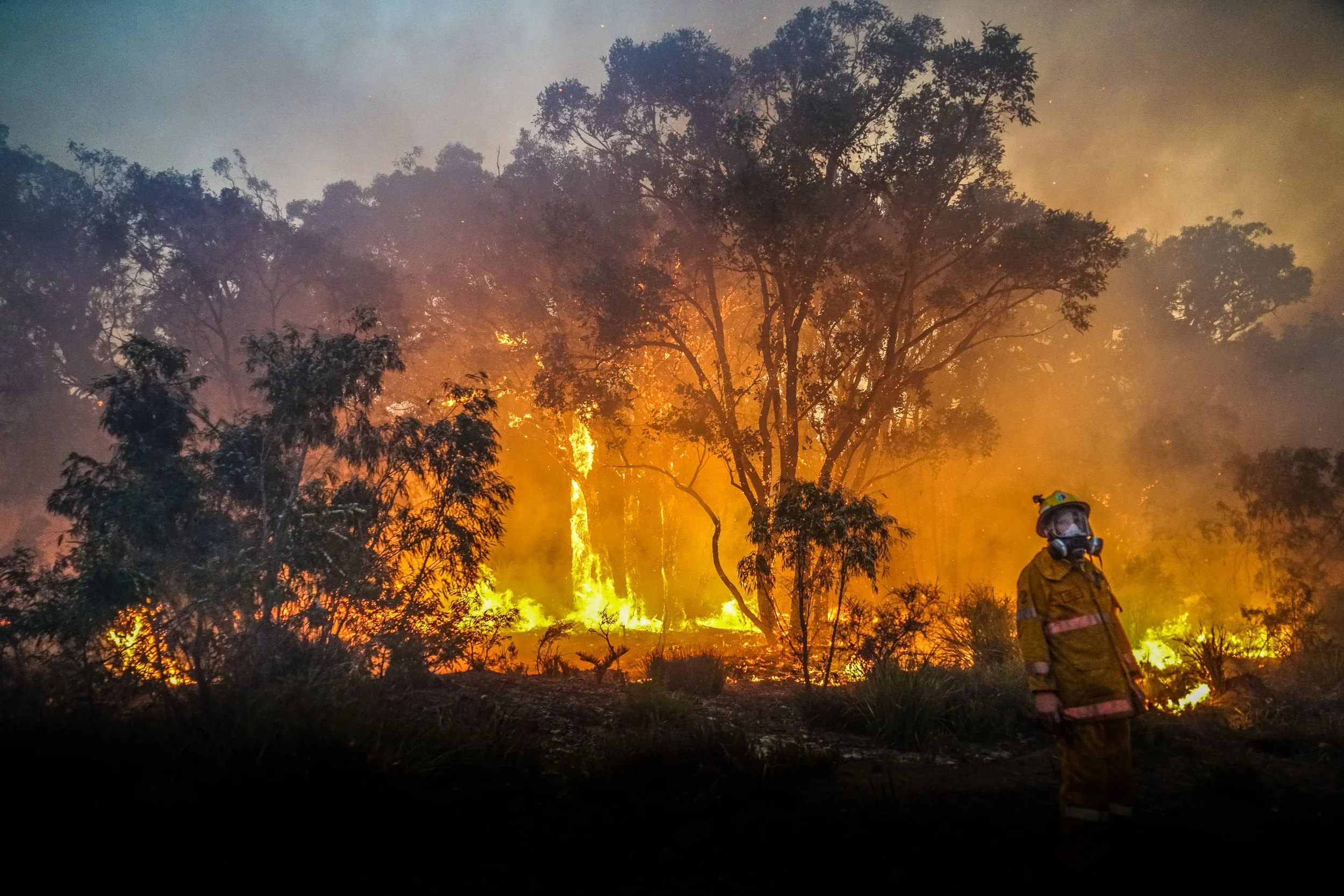
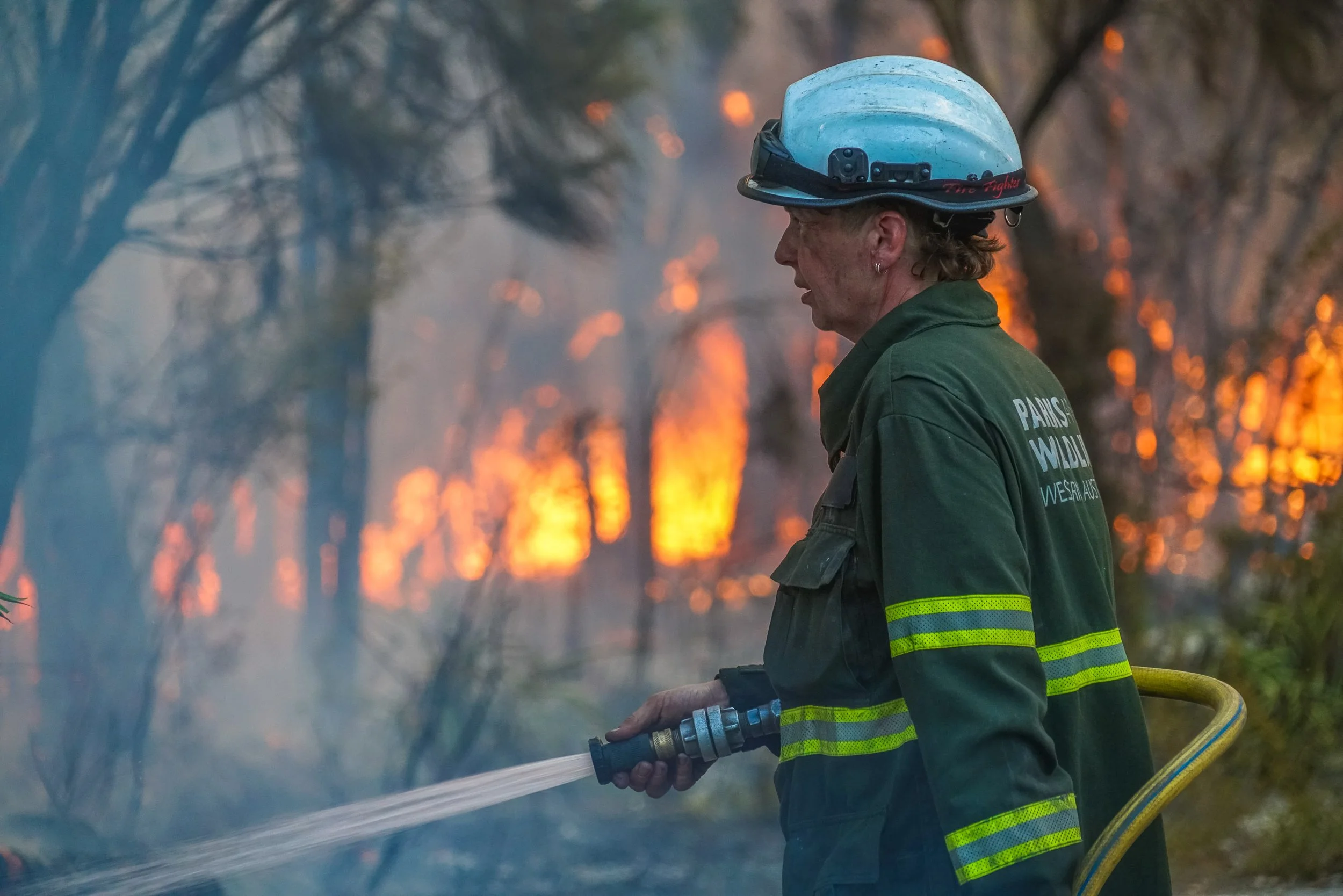
Smiths Beach, like Preverlly Beach (2011 fire) Redgate Beach (2021 fire), is accessed by a single road, which significantly increases the risk to life in a fire event.
The developer, despite the law requiring them to do so, is refusing to upgrade the roads and intersections to improve the safety of those esacaping in a fire event. Why is the developer refusing this legal condition? It is another cost saving to the developer, placing your family at risk as these roads and intersections are required to be improved for a fire evacuation event.
The WA Guidelines for Planning in Bushfire Prone Areas, v1.3 Dec 2017 states that "Two access routes must be provided, both of which connect to public road network, provide safe access and egress to two different destination and be available to the public at all times under all weather conditions.” (Appendices - page 20 of 30: Appendices Guidelines for Planning in Bushfire Prone Areas, v1.3 Dec 2017)
The development proposal for Smiths Beach will not meet this condition and will therefore significantly increase the risks to visitors, residents as well as property at Smiths Beach, instead they are proposing WA’s first mass fire bunker.
Fire - WA’s First Public Bunker for
+2000 People
The developer is proposing WA’s first public bunker at Smiths Beach, a +2000 people fire refuge despite The WA Guidelines for Planning in Bushfire Prone Areas, v1.3 Dec 2017 stating "bushfire shelters (bunkers) are not a stand-alone solution and they will not guarantee elimination of the risk of serious injury or fatality, and their use should be considered with extreme caution.” (page 43 of 50: Guidelines for Planning in Bushfire Prone Areas, v1.3 Dec 2017)
The 2009 Victorian Bushfires Royal Commission stated that “extreme caution should be taken in the use of bushfire bunkers... While a well-designed and constructed bunker may provide a temporary place of refuge during the passage of the fire front, bunkers are not a panacea. Misplaced reliance on a bunker can be life threatening”. (page 43 of 50: Guidelines for Planning in Bushfire Prone Areas, v1.3 Dec 2017)
The developer is proposing a fire bunker that will cater for over 2000 people, however WAPC’s own Guidelines for Planning in Bushfire Prone Areas, v1.4 Dec 2021, which was released this week states that "In limited circumstances … an on-site shelter (bunker) can be proposed as an acceptable solution. This is also contingent on the proposed development having a maximum capacity of 100 guests and staff on the site at any one time.” (page 40 of 107: Guidelines for Planning in Bushfire Prone Areas, v1.4 Dec 2021)
This proposal is 20 times larger than considered by the WAPC in their guidelines. There are grave concerns about the proposal for a fire bunker of such size instead of meeting the actual requirements that assist visitors and residents to safely escape in a fire event.
Instead of adhering the law and upgrading the roadways and intersection, this developer is knowingly going to develop a residential and tourism resort that will actively increase the risk to life and property in a fire event due to their non-committal to the laws that improve access and egress to Smiths Beach as required by law.


